Severe weather is sweeping across large parts of the United States this week, bringing flash floods, damaging winds, and the threat of tornadoes to many states. While the central and eastern regions brace for more heavy rain and storms, the West Coast, especially California, is getting ready for its first heat wave of the season.
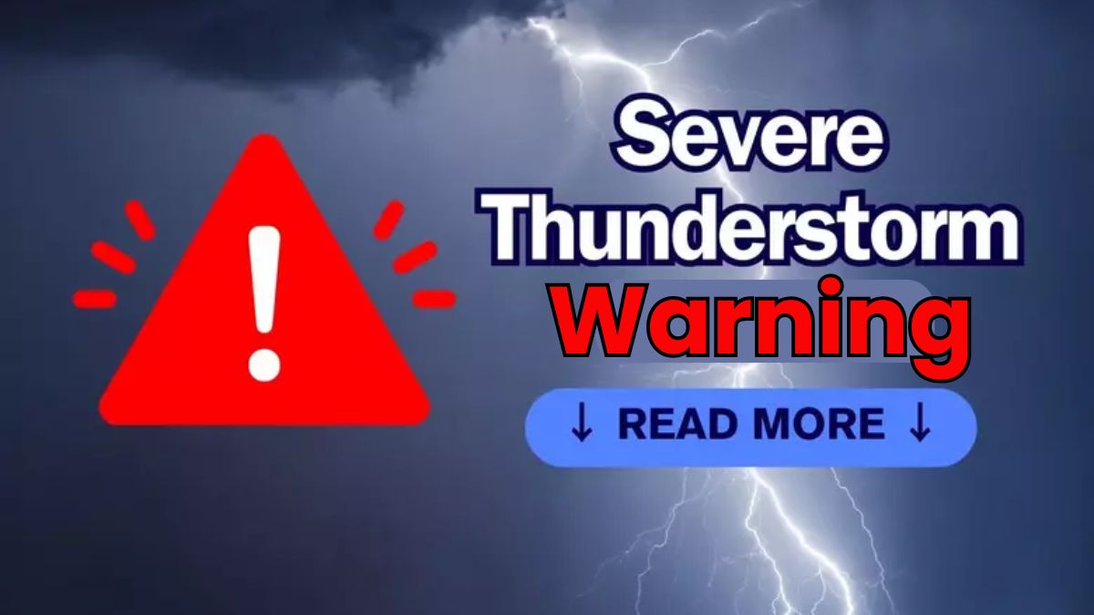
Thunderstorms Threaten Central and Eastern U.S.
According to the National Weather Service (NWS), several powerful storm systems are affecting different parts of the country. A multi-day system continues to soak the Gulf Coast, with severe thunderstorms forming over the Plains and heavy rainfall building up in the Mid-Atlantic.
The heaviest rain is falling over the southern Plains and the Gulf Coast. These storms are bringing the risk of flash flooding, lightning, large hail, and even tornadoes. Cities such as Houston, Austin, New Orleans, and Atlanta are under threat. Parts of Oklahoma, Colorado, and Kansas are also being affected.
यह भी पढ़े:
 Top 5 Most Moody Zodiac Signs
Southern Texas Faces Major Flood Risk
Southern Texas is currently one of the hardest-hit areas. Cities like San Antonio and Corpus Christi are under severe thunderstorm warnings and flash flood advisories. On May 28, over 21,000 homes and businesses lost power, according to PowerOutage.us.
In Blanco County, the NWS office in Austin and San Antonio warned of “life-threatening flash flooding.” The storms dumped several inches of rain in areas that were already waterlogged from previous storms. In addition to flooding, the area was also hit by hailstones as large as 5 inches in diameter.
What’s Fueling the Storms?
These strong storms are being powered by a weather boundary that separates cooler air in the north from hot and humid air in the Gulf Coast states. This setup led to major storms on Memorial Day, especially in the southern Plains and Southeast, with reports of tornadoes, strong winds, and large hail.
यह भी पढ़े:
 Top 5 Zodiac Signs who have golden luck
Storms Moving East Later This Week
The severe weather isn’t over yet. On May 29, more intense storms are expected along the Gulf Coast, including cities from Houston to New Orleans.
By Friday and through the weekend, the storm system is likely to move east. Heavy rainfall is forecasted from northern Florida to the Carolinas, increasing the risk of flooding in these areas as well.
California and Southwest Prepare for First Heat Wave
While the central and eastern U.S. deal with storms, the West Coast is preparing for extreme heat. According to the NWS in Los Angeles, California’s Central Valley is expected to reach triple-digit temperatures, which could break daily heat records.

The heat wave will also affect parts of Nevada and Arizona. On May 30 and 31, temperatures are forecasted to rise above 100°F in places like Moapa and Las Vegas, Nevada.
What to Expect and How to Stay Safe
For people in storm-affected areas:
-
Stay indoors during storms.
-
Avoid driving through flooded roads.
-
Monitor weather alerts from local authorities and the NWS.
-
Keep flashlights, batteries, and emergency supplies ready in case of power outages.
For those in the West:
-
Stay hydrated and avoid outdoor activities during the hottest parts of the day.
-
Check on elderly family members, pets, and neighbors who may be sensitive to heat.
-
Follow heat safety guidelines provided by the NWS.
Conclusion
The U.S. is facing two extreme weather events at the same time — severe thunderstorms and flash flooding in the East and intense heat in the West. Residents in affected areas should stay informed, take precautions, and follow safety instructions to protect themselves and their families.